Mapping has been Essential to Our School's Stewardship Project Successes
Our stewardship committee found that we needed to visualize the resources available to our school in order to better imagine what could done with our school property. The maps we created from arial photographs proved essential to marketing our ideas to the school community, school board and various granting organizations.
Thanks in part to these maps we received roughly $100,000 in grant funds between 2013 and 2019.
$20,000 for a walking path
$15,000 for rain gardens
$15,000 for wetland restoration
$15,000 for a sugar house & evaporation equipment
$10,000 for composting shed and equipment
$5,000 for gardening and orchard projects
$1,500 for a chicken housing project
$1,000 for classroom beehives
$6,000 for two Gaga Pits
$12,000 for a merry-go-round that is inclusive for all kids
Surveying Our PropertyIn the Spring of 2013 we had our land surveyed and were happily surprised to discover that the school owns 30 acres. The image below shows the basic areas of the property; our athletic fields, two forested zones, the wetlands and our garden space. Thirty acres is a lot of space and it got us thinking about what could be done to make the property a huge outdoor classroom.

Click on map to view a larger version
|
Imagining Uses of the PropertyThe principal, our farm to school coordinator and a key member of the facilities staff walked the property and imagined what could go where. A stewardship committee of students and staff were assembled in the spring of 2014 to generate more ideas, and a large foam board map of the school property was created to showcase their vision to the school community. In the years since that brainstorming time period nine of those ideas have come to fruition and two more are likely to happen within the next year.
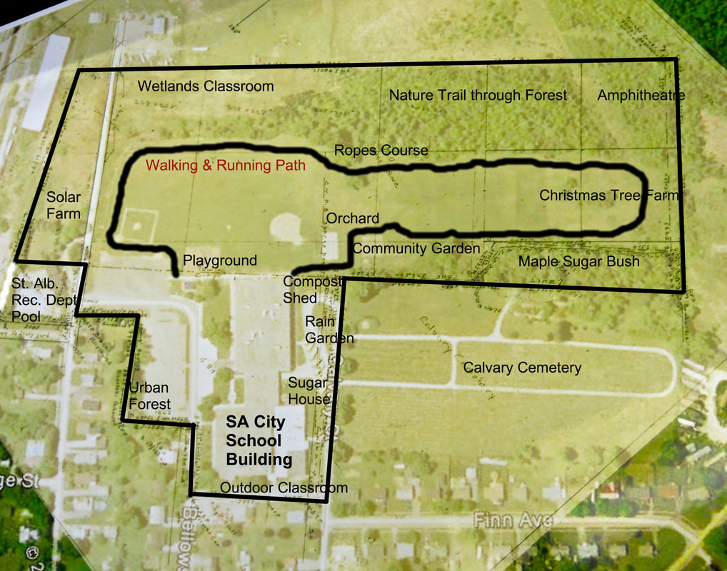
Click on map to view a larger version
|
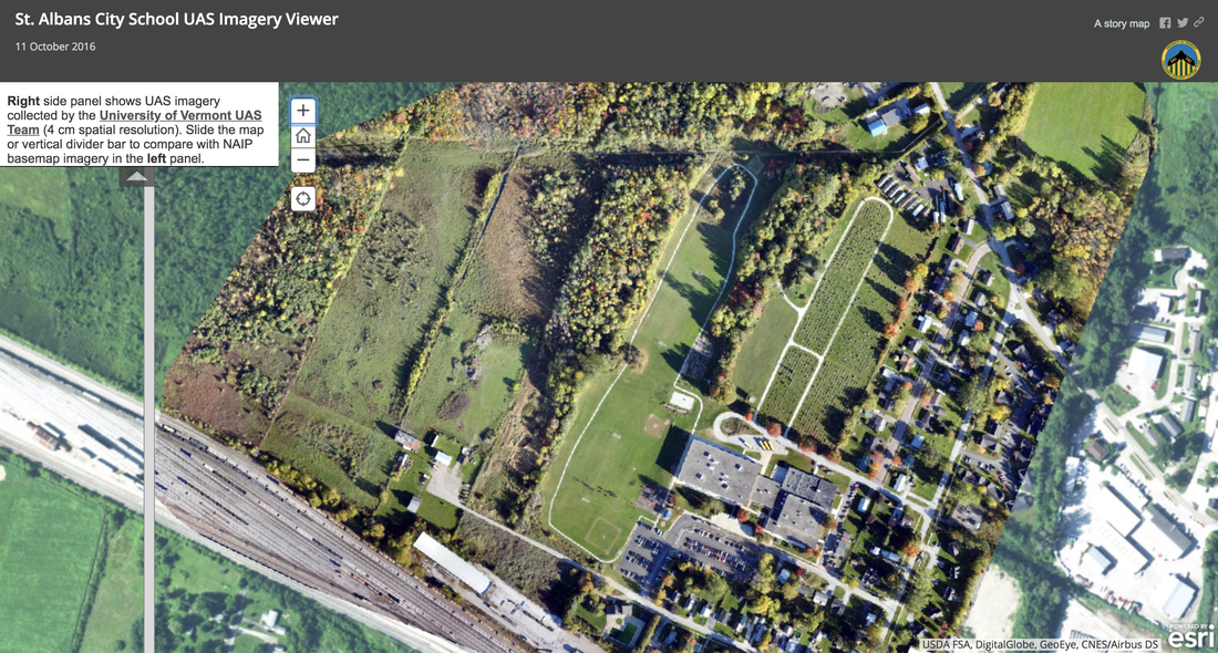
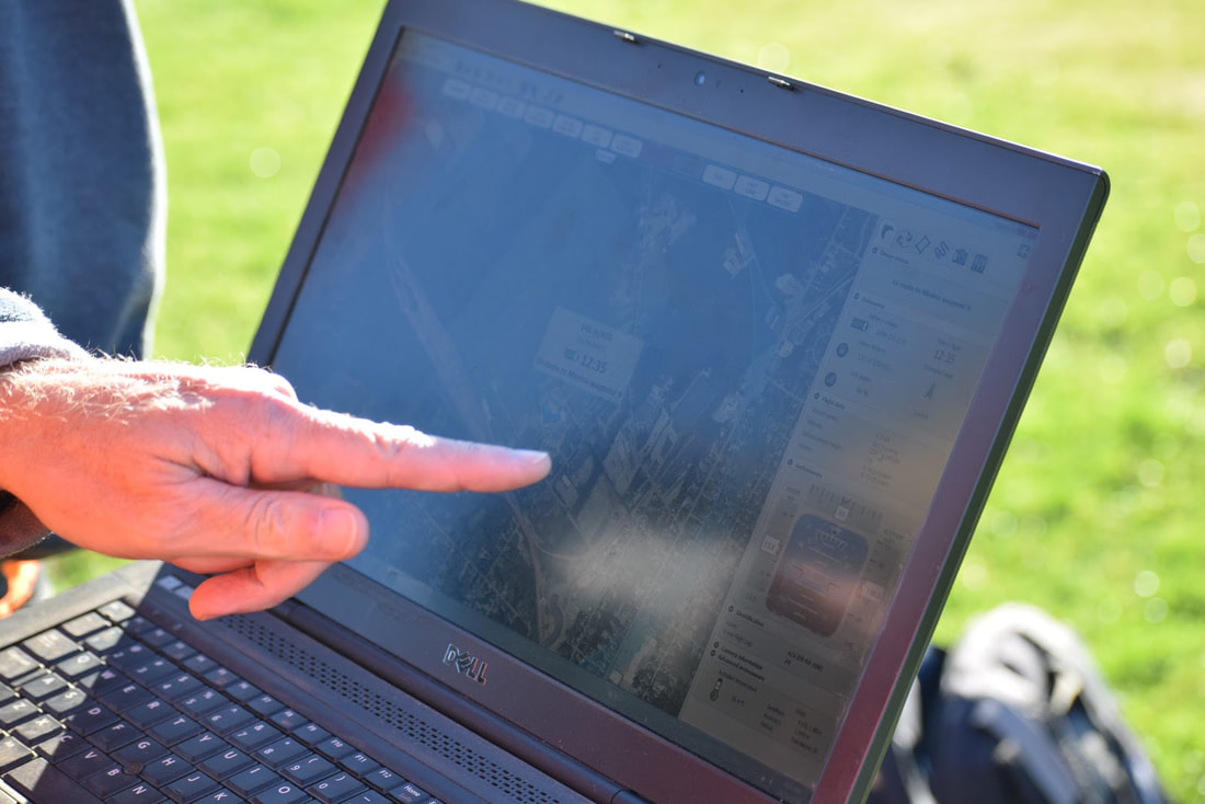
UVM Surveying AssistanceIn 2016 UVM mapping staff assisted our school by creating a high quality arial survey map of our property.
Right: Check out the high-resolution composite image of school property assembled from the 160 digital pictures the UVM staff took with their drone. CLICK ON THIS LINK TO VIEW THE IMAGE Zoom in and Out. Compare the google earth map with the UVM map. |
|
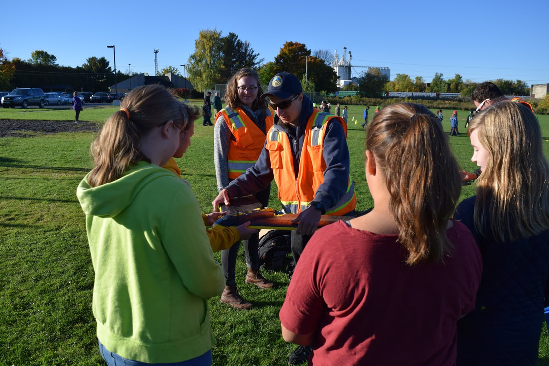
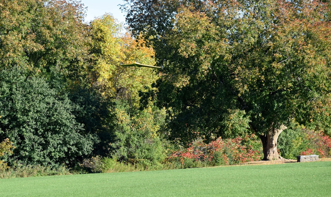
Pictures of the Surveying Process
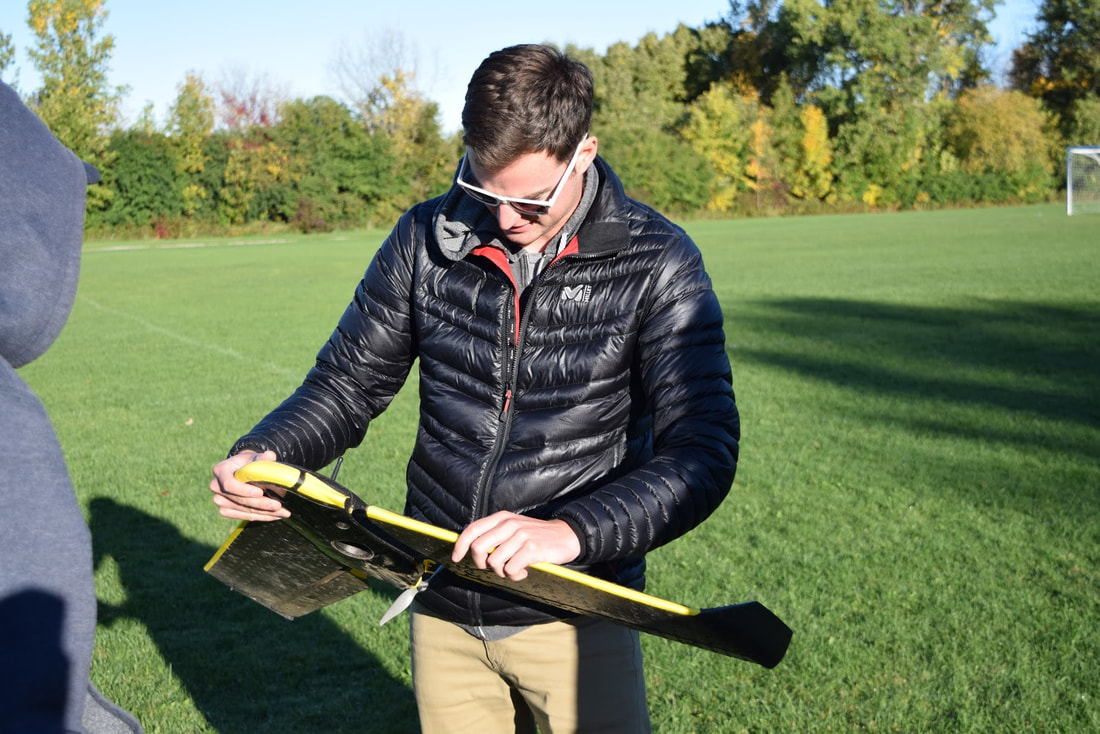
Assembling the winged drone
|
Stewardship student leaders learned how the drone was built. The foam body is pushed by a propeller and steered by its foam wings.
|
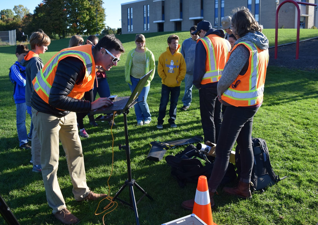
UVM staff pre-programming the flight.
|
Arial pictures were taken by the drone of the area
|
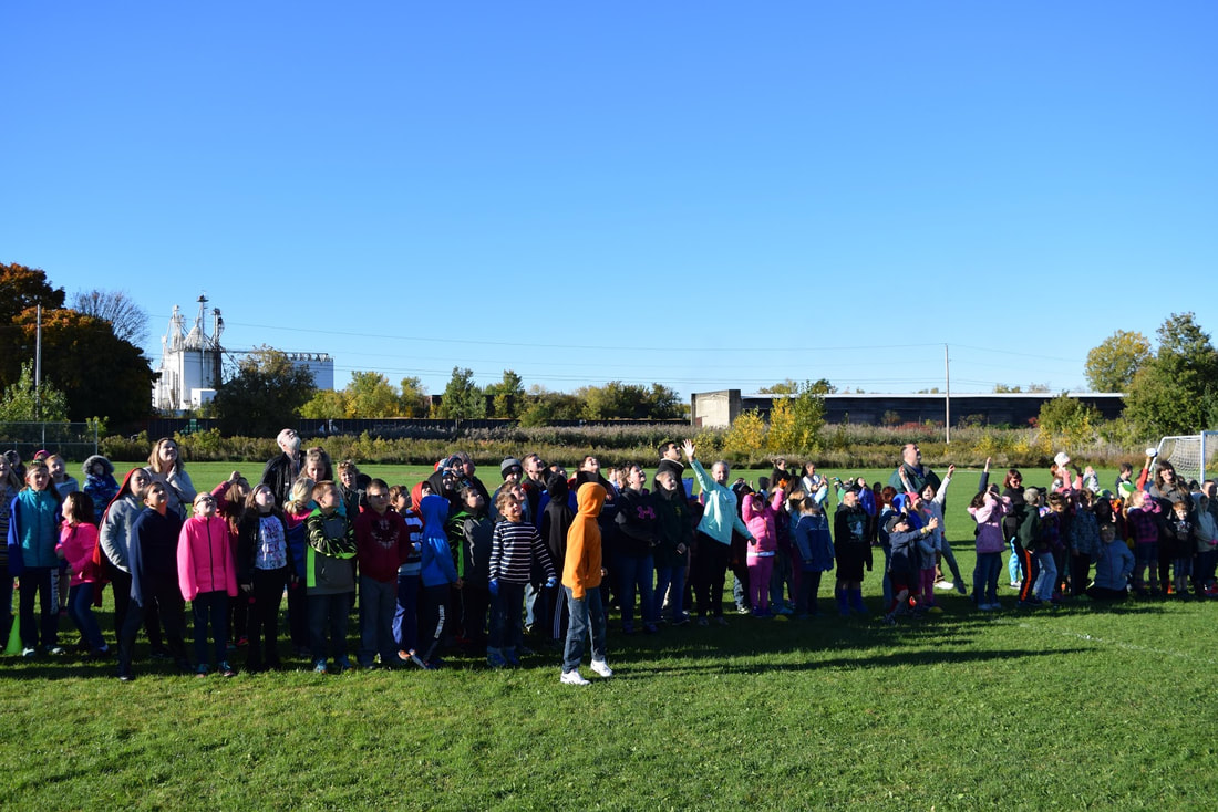
Groups of students were asked to stand at the end of the field out of harm's way
|
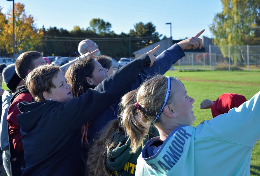
Students watched the drone zig-zag over the school property
|
The drone landing at the completion of its work
